Capitol Reef National Park, the perfect setting for your next adventure!
Located in a remote region of south central Utah. The unifying feature is the Waterpocket Fold, for hundreds of miles its parallel ridges rise from the desert like the swell of a giant wave rolling towards the shore. Exposed edges of the uplift have eroded into a slick rock wilderness of massive domes, cliffs and a maze of twisting canyons.
Geologist know the fold as one of the largest and best preserved monoclines on the North American continent. Travelers know it as a place of dramatic beauty so remote that the nearest traffic light is over 78 miles away! Despite Capitol Reef being off the beaten path, the park still sees over 750,000 visitors each year.
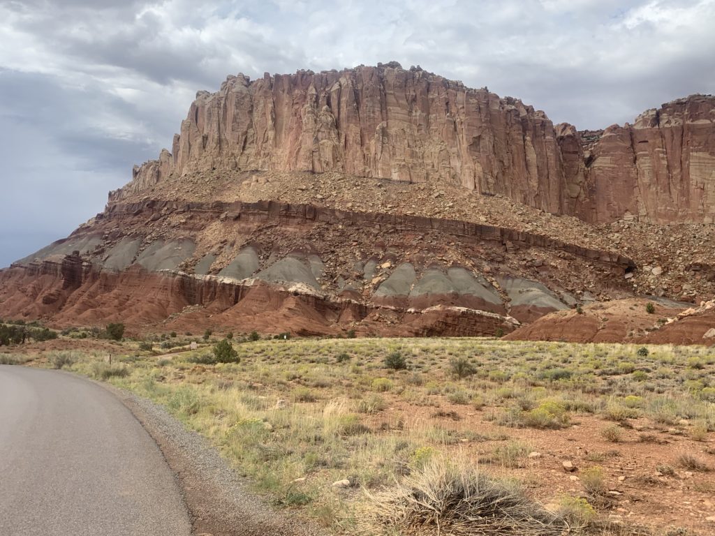
The drive into the park on Highway 24 from Hanskville was extremely wide open, flat and desolate. It reminded me a lot of the drive into Death Valley National Park, not as hot though. Eventually colorful layered rock formations began to appear on the left side of the road, while the right remained seemingly uninteresting. I assumed this is where the Waterpocket fold began.
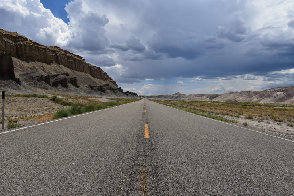
Beginning of the Waterpocket Fold at Capitol Reef National Park
You will pass a turn off road that will take you into a canyon with Native American petroglyphs scattered along the canyon walls. It should be noted that visitors must stay quite a distance away from the petroglyphs so it is recommend you bring binoculars.
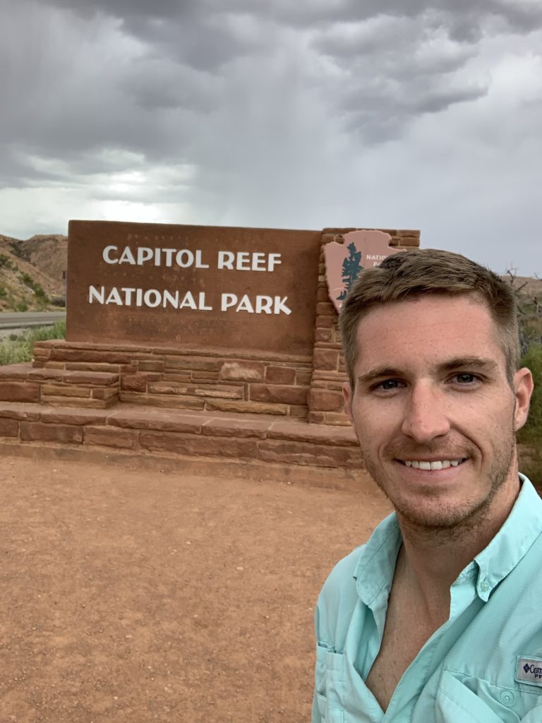
Unfortunately they didn’t have a camera post like Canyon Lands National Park so I had to settle for a selfie instead.
In my opinion the visitor center lacked the character of some of the others, like Arches National Park. I took a quick look around and bought a magnet to add to the collection before heading deeper into the park. The area surrounding the center was unique due to the fact it had many relics left over from the Mormon frontier community that settled here in the 1880’s that are now apart of the park system, camping and picnic areas can be found scattered throughout.
Capitol Reef offers a scenic out-and-back drive, similar to Bryce Canyon National Park but without as many viewpoints. The drive is 25 miles round trip and takes you through the heart of park. The now paved road began as a century old wagon-way known as the Blue Dugway. Which was used by Indians, outlaws and gypsies of the past.
You can take a side road into the Grand Wash. Here you will find high on a cliff the Cassidy Arch, named for outlaw Butch Cassidy, who reportedly used the canyon as a hideout. A 2.35 mile trail from the parking area leads down Grand Wash through spectacular narrows to the Fremont River. Another 1.75 mile trail will take you right up close to the Cassidy Arch.
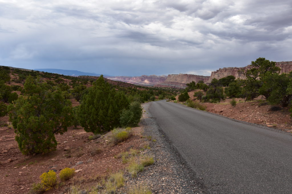
The colorful rock layers were a sight to be seen on the Scenic Drive!
The scenic drive ends with a winding 2-mile spur road into Capitol Gorge. This section is not paved and is recommended for 4×4 vehicles with high ground clearance. My rental car lacked both but I decided to try my luck and proceeded into the canyon anyways.
Steep canyon walls quickly narrowed and provided a unique view as I slowly made my way down the bumpy road. After being over-taken by a few Jeeps and SUV’s I finally made it to the small parking area for Capitol Gorge and Quincy the Corolla was still in one piece!
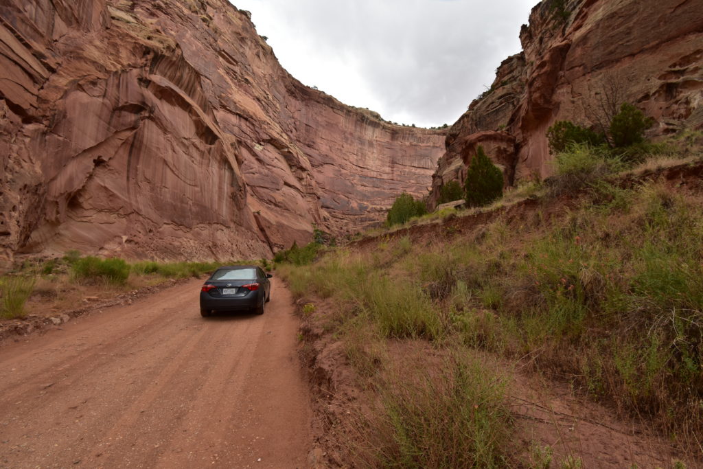
Quincy the Corolla in action. Don’t tell the car rental company!
The Capitol Gorge trail continues into the canyon with the walls getting steeper the further you go. You will even be able to see, up close a few petroglyphs on the sand stonewalls. Unfortunately, you will also see graffiti carved into the canyon walls by modern day visitors. I did notice signs saying anyone caught carving into the walls will be fined $200, not enough in my opinion. It really is extremely important to follow the “leave no trace” principle in order to keep our countries beauty maintained.
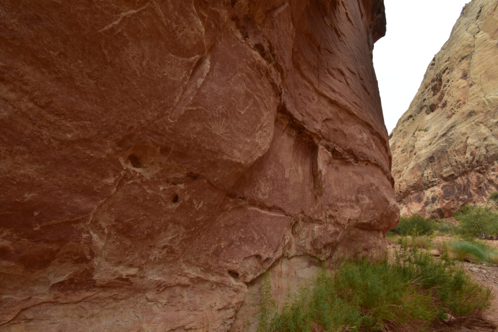
Petroglyphs from 600 AD on the Capitol Gorge Trail.
The trail ends with a short, steep climb to the waterpocket tanks. Here you will be rewarded with a panoramic view of the famous Golden Throne. As I made my way back to the car I could feel the smile stretching across my sunburned face, the trail instantly became one of my favorites.
The trail never felt crowded I only passed a handful of people all afternoon. However, for those seeking complete solitude can backpack into the Lower Muley Twist canyon, backcountry permits are free, but required. Early settlers have claimed there are bends in the canyon that are so narrow, mules had to twist themselves to get through.
Although hiking and the scenic drive are the predominant actives for visitors. Capitol Reef also offers many ranger led programs, birdwatching and even fruit picking if you go at the right time of year.
Overall,
The unique layered rock formations, narrow canyons and historic petroglyphs at Capitol Reef all create a sense of wonder that is hard to be matched. I enjoyed the lack of crowds and the easy to navigate scenic drive. The remoteness combined with the Indian and outlaw history made it easy to be “taken back to the past”, a truly unforgettable experience that I highly recommend.
Have you visited Capitol Reef? What was your favorite hike or activity?
Be sure to check out the other National Parks we’ve visited here!
Pingback: Great Basin National Park –